
Check Bixby Neighbors Through Block Records
For Bixby neighbors, the immediate block is the useful scale. Parcel geometry identifies the land that touches or faces the starting address. The assessor provides the property record tied to that land. Recorded plats and deeds add the legal description and transfer history. City neighborhood resources can point toward an association or civic organization, but the research found no public citywide member roster. Keep ownership, mailing, registration, directory listing, and current residence as separate facts.
| Block Source | What It Shows Near an Address | Access Route |
|---|---|---|
| INCOG or Wagoner GIS | Parcel geometry, adjacent lots, and county routing | Official reference map |
| County assessor | Parcel, situs, owner and mailing fields, legal data | Official county property system |
| County clerk plat and land records | Recorded plats, deeds, easements, and legal descriptions | Index, clerk inquiry, or copy route |
| Oklahoma election records | Registration data only through the portal or regulated request process | Official election channel |
| Community and cemetery sources | Public organization leads or dated memorial information | Official city and institutional sources |
An owner field can be useful for checking a parcel record. It does not establish that the owner is a current neighbor, and a mailing address can lead elsewhere. This boundary keeps a block lookup accurate.
Bixby Neighbor Parcels Cross Counties
The Bixby Map Atlas describes a larger planning area around the incorporated city, while the ODOT Bixby map helps orient the city and county relationship. Neither a Bixby mailing line nor a ZIP Code is enough to choose a property-record system. A nearby parcel can be in a different county even when the addresses appear to share a neighborhood identity.
Start with the subject parcel's situs address and map location. Preserve its parcel ID, subdivision or lot-and-block description, section-township-range data where shown, and county. Then repeat that check for an adjacent tract. This avoids joining two unrelated county records just because they sit on the same apparent block. It also respects the difference between city services inside municipal limits and planning authority in unincorporated areas.
Note: Postal labels, school districts, and mailing addresses are attributes to compare, not substitutes for a parcel county.
Bixby Neighbor Maps Start With Parcels
On the Tulsa County side, the INCOG parcel service supplies the spatial starting point for Bixby neighbors. Identify the central parcel, then read the surrounding parcel boundaries one at a time. Capture parcel IDs and the street frontage before using any name or owner field. INCOG's mapping resources provide the regional context that supports this routing work.
Wagoner County's official GIS is a separate system. Its county guidance says the interactive map is for general reference and is not an emergency or 911 map. The page directs researchers back to recorded plats and deeds for authoritative legal descriptions. A screen map is therefore a useful index to a block, not the final answer about its legal boundaries or ownership.
Map Bixby Neighbors by Parcel
The block method moves outward from a known address without turning a property record into a household roster. Work through the parcel map, then confirm the county-specific record route for each lot. The core path is: address to parcel, parcel to legal description, legal description to the county clerk, then instrument date and type back to the parcel record. Keep a note of the source date at every step.
- Locate the starting address in the correct official GIS viewer and record its parcel ID, county, and visible lot context.
- Select each parcel that borders or directly faces it. Do not assume that the next street address is the next legal parcel.
- Search the appropriate county assessor for each parcel, separating situs, owner, and mailing fields.
- Use the county clerk's parcel or plat route to compare the legal description, instrument date, and document type before drawing conclusions from a transfer.
- For a longer named-street chain, use the Bixby street directory rather than extending a block search into an unbounded address list.
Recorded deed terms need plain reading. A grantor conveys an interest and a grantee receives one. They are not labels for present occupants. A recorded easement or common-area plat can also affect the block without identifying a household.
Bixby Neighbor Plats Mark Common Areas
Plats add detail that parcel boundaries alone may not convey. They can show lots, blocks, access easements, drainage, reserve strips, and common areas. For a Tulsa-side block, identify a plat name and recording reference in the clerk's plat route or through INCOG, then check the recorded document. For Wagoner work, the section-plats page describes its maps as location tools and directs users to the property card for ownership and assessment.
The Bixby Meadows plat attachment is a local example that documents an owners association responsible for common areas. It supports a next step of checking the recorded declaration, amendments, and management documents through the county clerk. It does not establish a city-maintained list of association members or residents.
Bixby Community Leads for Neighbors
The Bixby HOA Form Center is a city registration and form hub. It can identify a publicly available administrative lead, but it does not publish a citywide member directory. Use an association name only to locate recorded declarations and public organizational contacts. Do not infer a list of neighbors from a form center or from a plat's common-area language.
HOA Form Center
City association form hub
Useful for an administrative lead, not a member roster.
Bixby Meadows Plat
Recorded-association lead
Check declarations and amendments with the county clerk.
Civic Quicklinks
Official Bixby quicklinks
Lists public organizations such as the historical society, Rotary, and Chamber.
The official HOA Form Center documents this public association route.
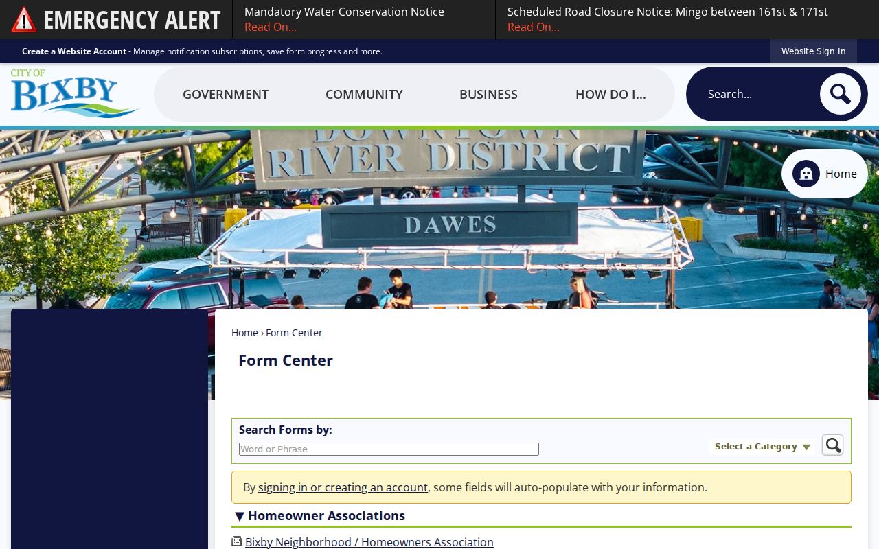
The form center offers an association contact path without turning a neighborhood organization into a searchable directory of people.
Bixby Neighbors and Voter Records
Oklahoma's Voter Portal is an individual lookup that uses first name, last name, and date of birth. The voter card can include a name, address, political affiliation, and polling place. State guidance says voter records do not include race, gender, or ethnicity. The public portal's coverage dates were not located in official sources, and a record is not proof of current residence or every person at an address.
Voter registration records and history are also available through VIRS or EDW under the Election Board information-and-records process. Readily available electronic records have no fee, while paper copies are $0.25 per page and certified copies are $1. The agency does not have to create custom reports. The EDW request form requires requester details, eligibility and permitted-use attestations, and a signature. That process is not a block-by-block people finder.
Bixby Neighbor Sources Compared
Official records identify the custodian, date, and scope of a result. Commercial neighbor-search tools may combine unknown source dates, duplicate records, and unclear address labels. Use official parcel, clerk, election, and city channels when a result needs verification. A missing hit in either category does not prove a person is absent from a block, because public records have county limits, date limits, and statutory protections.
| Source Type | Strength | Limit to Keep in Mind |
|---|---|---|
| Official parcel and assessor record | Identifies a dated property record and parcel fields | Owner or mailing data does not prove occupancy |
| Recorded clerk instrument | Supplies document type, date, parties, and legal description | It is a property-interest record, not a household list |
| Commercial neighbor tool | May offer a fast lead to verify | Source dates, accuracy, and lawful-use limits may be unclear |
For a record that matters, preserve the parcel ID, instrument number, record date, and access date. Those details make it possible to recheck the official custodian later.
Bixby Neighborhood History at Cemetery
Bixby Cemetery has an online first-and-last-name search that highlights a result's block, lot, and space. The city recommends entering a distinctive part of a name, and staff can perform a lookup on weekdays. A cemetery result is a dated burial or memorial record. It can help distinguish repeated historical names, but it is not a current address or proof of a living neighbor's identity.
The Bixby Cemetery map and name-search workflow is the official source for this historical record layer.
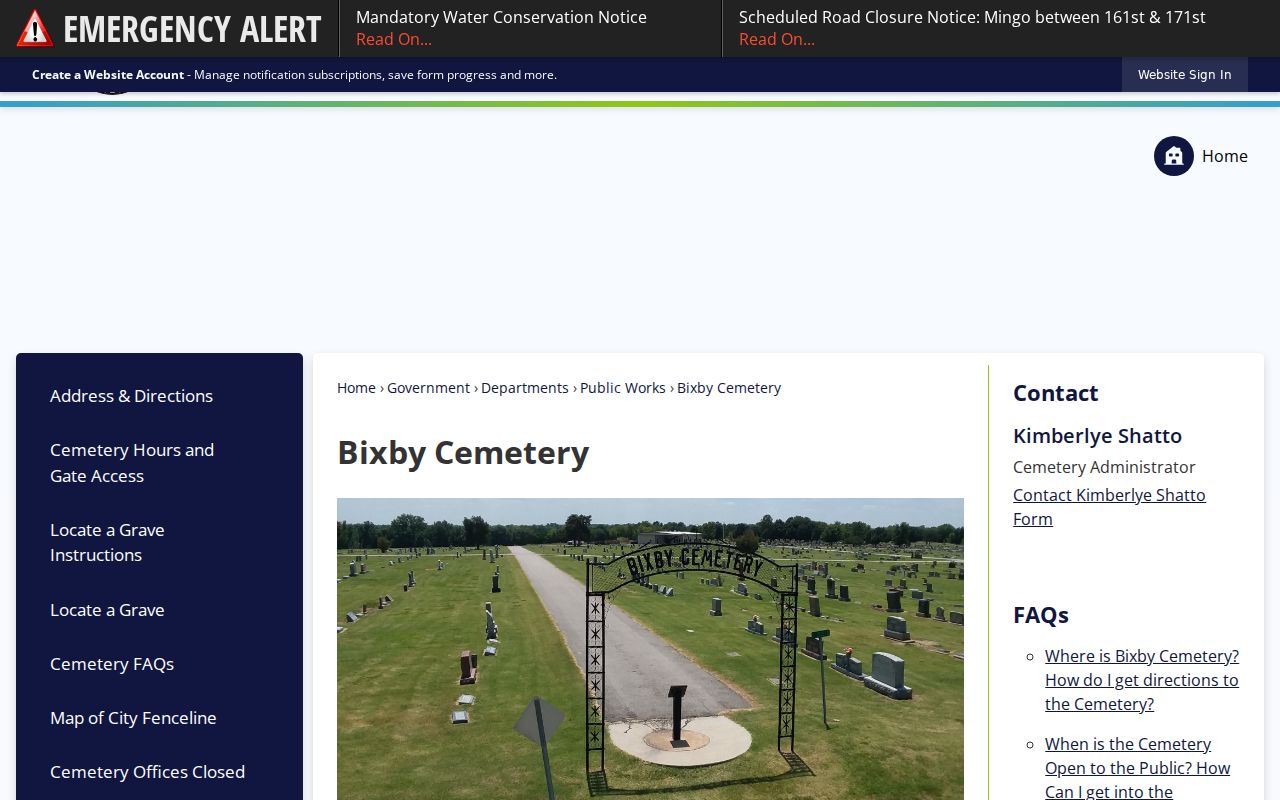
The map's block, lot, and space fields can help compare a memorial result with a newspaper or library record without treating it as a current household record.
The Bixby Bulletin collection and Tulsa Library Genealogy Center are additional historic research channels. The online Bulletin run is not continuous, so a missing issue should prompt a library or Oklahoma Historical Society question rather than an assumption that the paper did not publish.
Bixby Neighbors Need Privacy Limits
A neighbor lookup cannot reliably show every person in a household, a protected participant's physical address, private phone information, Social Security numbers, driver records, medical details, or sealed and juvenile records. Oklahoma's Address Confidentiality Program can provide an eligible participant with a substitute post-office-box address. A missing or substituted address is not an error to reverse.
State PII guidance explains that driver records have separate protection under federal Driver's Privacy Protection Act rules. Public records should be used for historical research, civic questions, and careful verification, not for surveillance or pressure. Oklahoma's stalking statute bars willful and repeated conduct that frightens, intimidates, or harasses another person.
Lawful use. Bixby neighbors records can support personal research and community awareness. Do not use an address, parcel, or organization record to stalk, harass, intimidate, or harm any person.